Survey, Geomatics & CAD-GIS Support
Support for converting, organizing, validating, and integrating survey, CAD, parcel, infrastructure, and GIS data into clean project-ready workflows.
What This Service Helps with
Survey, engineering, land development, and infrastructure teams often work across CAD files, survey plans, parcel layers, utility datasets, legal boundaries, field measurements, and GIS systems. These datasets are valuable, but they are not always structured in a way that is easy to map, analyze, publish, or share.
OrbitalIQ helps bridge the gap between survey, CAD, and GIS by preparing spatial data that is clean, correctly referenced, organized, and usable across project teams.
This is useful when your team needs to:
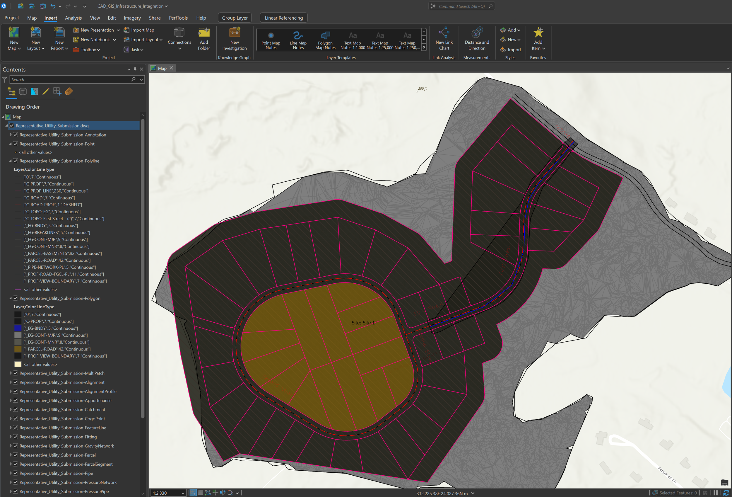
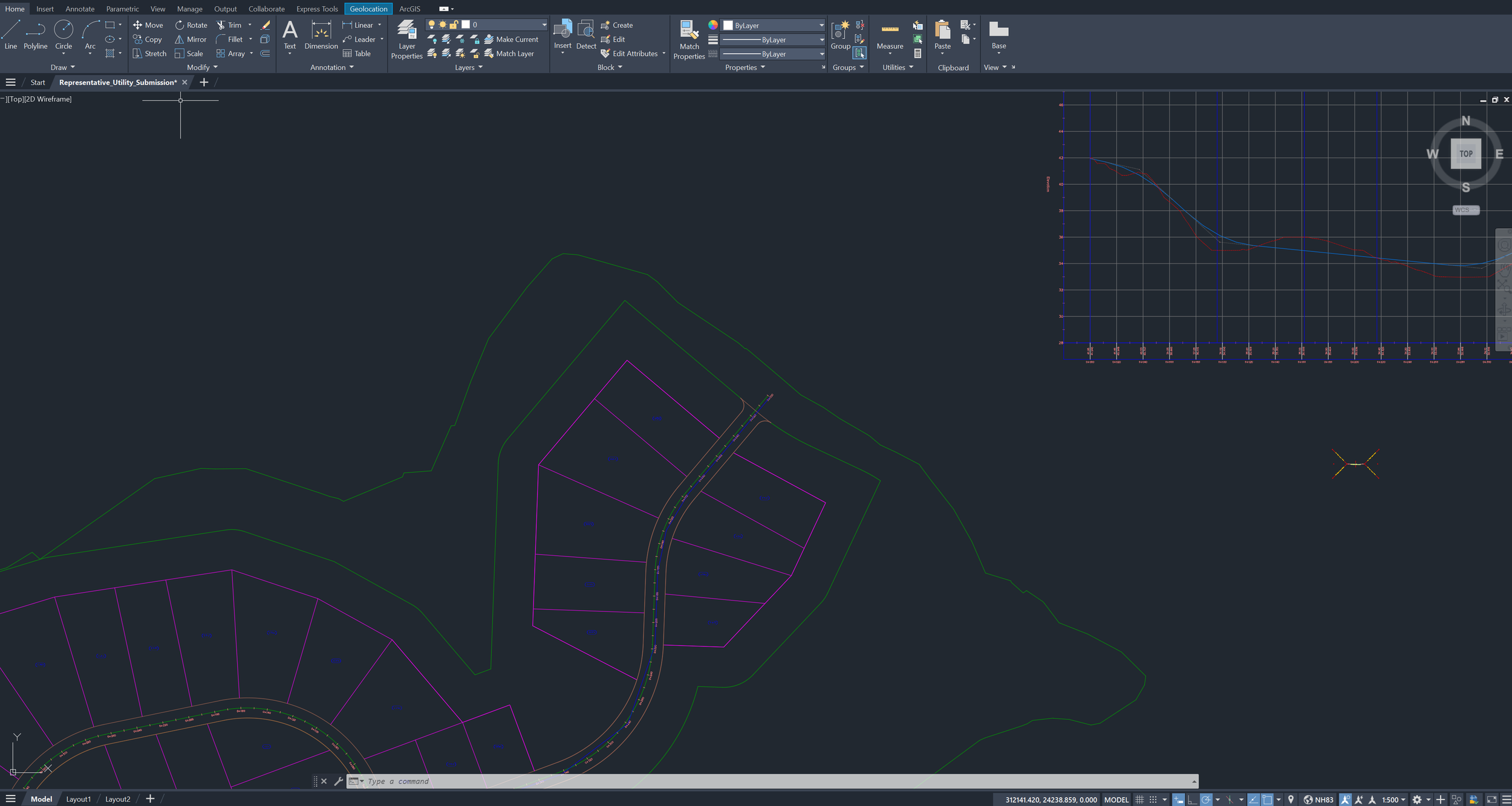
Convert CAD drawings into GIS-ready layers
Prepare survey or parcel data for mapping and analysis
Clean linework, points, polygons, and attribute tables
Review coordinate systems, projections, and spatial alignment
Integrate infrastructure, parcel, road, utility, and development layers
Create web maps, project maps, or spatial data packages from CAD/GIS inputs
Typical Deliverables
CAD-to-GIS converted layers
Clean parcel, road, utility, and infrastructure layers
Geodatabases and shapefiles
Coordinate system and projection notes
Spatial alignment review
QA/QC issue summaries
Web maps and hosted feature layers
Project map layouts
Infrastructure data packages
Survey/GIS integration support
Field-ready spatial layers
Documentation and handoff notes
Core Support Areas
-
Convert CAD drawings, design files, survey exports, and engineering linework into structured GIS layers. This can include separating features by type, cleaning geometry, assigning attributes, and preparing the data for ArcGIS, QGIS, or web mapping.
-
Organize survey, parcel, legal boundary, easement, right-of-way, and development-related data so it can be used with GIS layers and project information. This helps teams understand spatial relationships between parcels, infrastructure, roads, buildings, and constraints.
-
Review projections, coordinate systems, units, and spatial alignment issues so CAD, survey, GIS, and field datasets line up correctly. This is especially useful when combining data from different sources or preparing deliverables for other teams.
-
Prepare roads, utilities, buildings, parcels, hydrants, sanitary, storm, water, and other infrastructure layers for mapping, dashboarding, QA/QC, or project delivery.
-
Identify and clean geometry issues such as duplicate features, gaps, overlaps, dangling lines, invalid polygons, missing attributes, inconsistent naming, or incorrect feature classification.
-
Package cleaned spatial data into a format that is easy for clients, consultants, municipalities, or internal teams to use. Outputs can include geodatabases, shapefiles, CAD exports, web maps, map packages, or documented layer structures.
Example Use Cases
CAD-GIS Integration
Convert CAD drawings or engineering linework into GIS-ready layers that can be mapped, analyzed, published, or combined with other project datasets.
Parcel & Development Review
Prepare parcel, zoning, building, road, utility, and constraint layers to support land development, planning, site review, or project coordination.
Survey Data Support
Organize survey points, boundaries, easements, right-of-way information, and field-collected data into a structured GIS workflow.
Municipal Infrastructure Mapping
Prepare infrastructure layers such as water mains, hydrants, sanitary services, storm assets, roads, and buildings for mapping, QA/QC, dashboards, or asset review.
Spatial Data QA/QC
Review spatial data for geometry problems, missing attributes, inconsistent fields, projection issues, and other problems that can affect project delivery.
Related Project Example