Practical Data, Mapping & Workflow Support for Your Projects
Sometimes you need a map. Sometimes you need a dashboard, a field form, cleaner data, automation, or a better way to report what is happening. OrbitalIQ Solutions helps turn that information into something your team can actually use.
Consulting, Delivery & Technical Capacity for Project Teams

Advisory & Project Strategy
Not sure how to structure the work yet? OrbitalIQ helps clarify the need, review available information, choose the right tools, and map out a practical path before time and budget are committed.

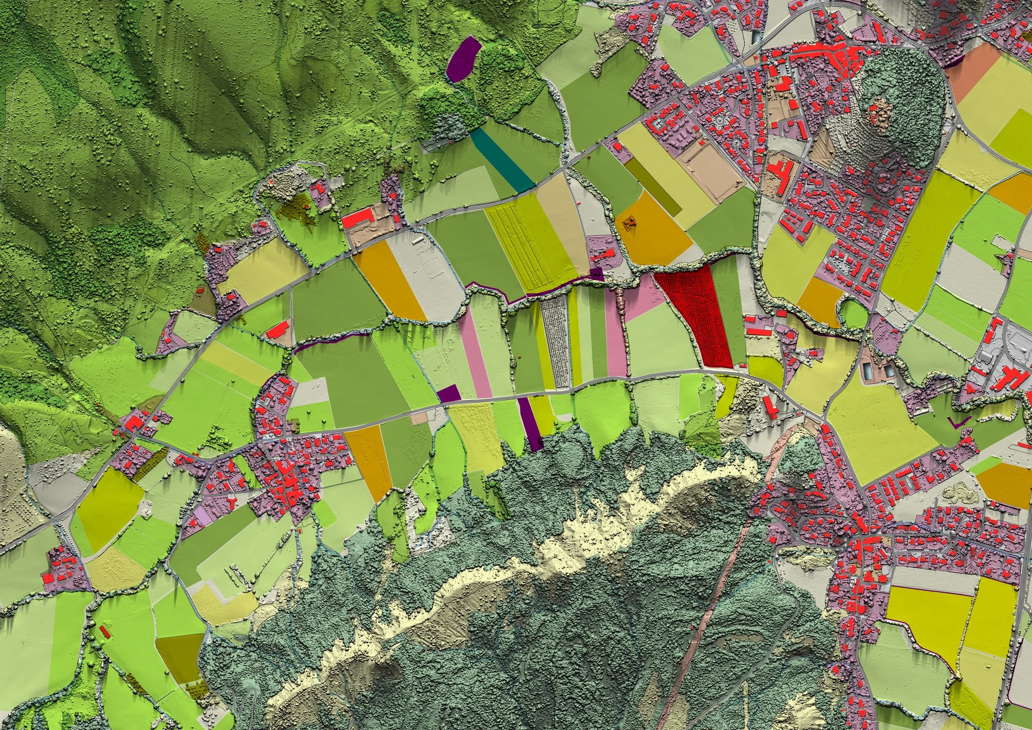
When information needs to be easier to see, share, or explain, OrbitalIQ can build practical outputs such as maps, dashboards, databases, field tools, reports, and project information systems.
Data, Mapping & Digital Solutions

When your workload is heavy or a deadline is approaching, OrbitalIQ can provide senior-level help with cleanup, QA/QC, automation, documentation, workflow builds, reporting, and hands-on technical delivery.
Technical Delivery & Team Extension
Turning Complex Project Information Into Clear Direction
OrbitalIQ Solutions works with organizations that need better ways to organize information, improve workflows, and turn project data into practical tools for planning, reporting, coordination, and decision-making.

Have Questions? Let's Talk
Send us a quick note, and we’ll review your message and get back to you.