Cleaned, organized, and integrated survey, CAD, parcel, and GIS data into practical mapping and project-delivery outputs
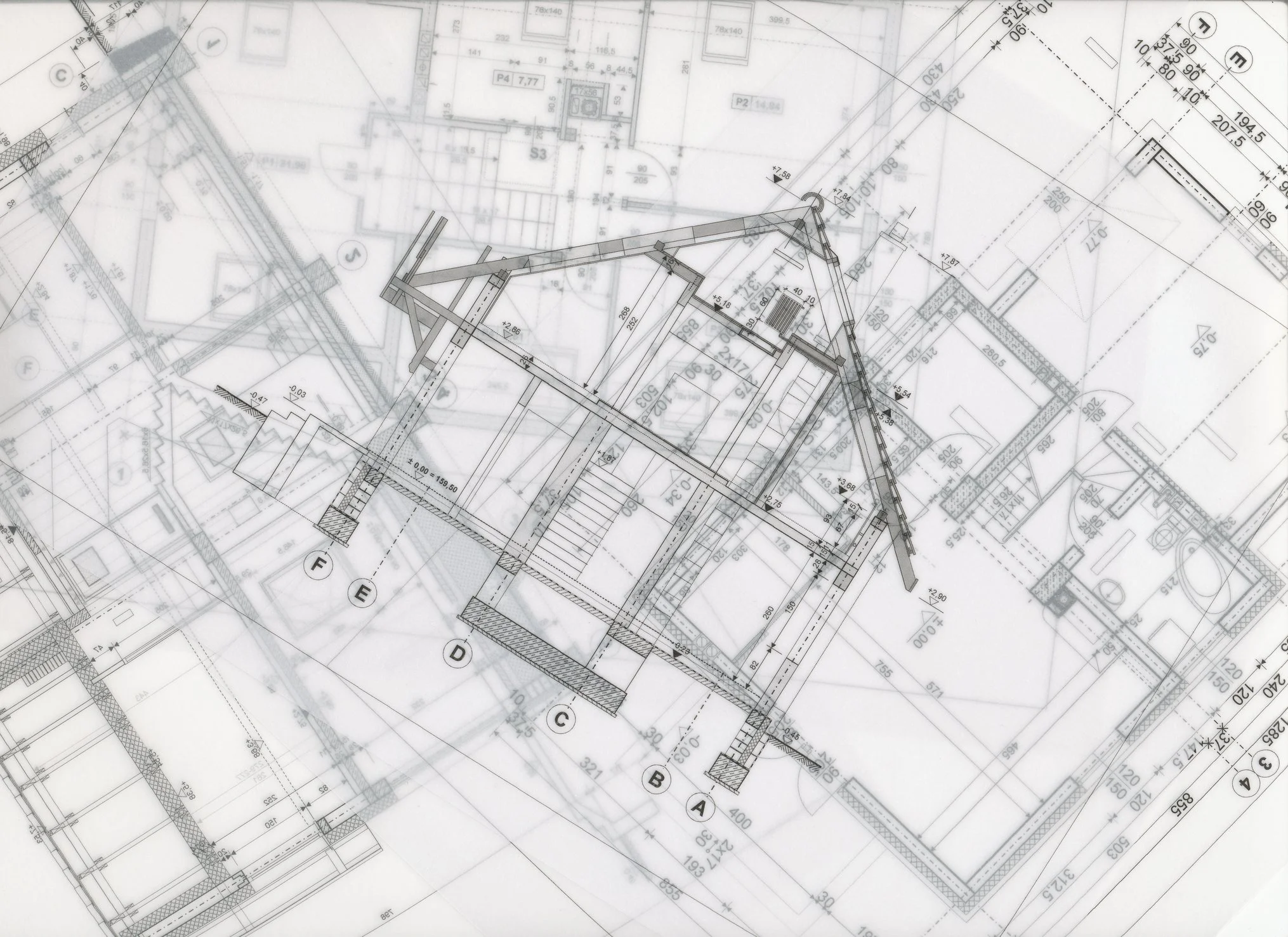
Survey and geomatics teams handle precise project information every day: CAD drawings, survey files, legal plans, parcel references, easements, statutory rights-of-way, topographic data, as-builts, drone outputs, 3D scan deliverables, field notes, imagery, and client-requested maps.
This project focused on the information layer around the survey workflow. OrbitalIQ helped organize survey, CAD, GIS, and project reference data so it could be cleaned, checked, mapped, and reused more easily across project delivery.
Project Summary
OrbitalIQ completed a survey-focused integration project in which project information was distributed across CAD files, GIS layers, parcel references, spreadsheets, imagery, and field-derived data. The work focused on making the information easier to use, review, map, and hand off.
The end result was a cleaner spatial data package with organized layers, clearer attributes, practical QA/QC notes, and map-ready outputs that could support internal review, client communication, and future project work.
Project Phases
-
The first step was to understand the files, coordinate systems, project area, and intended use of the information.
Reviewed CAD, GIS, parcel, imagery, and supporting project files.
Identified coordinate system, layer naming, and attribute issues.
Separated authoritative survey inputs from reference information.
Confirmed what needed to be cleaned, converted, mapped, or flagged for review.
-
Relevant CAD and project information was converted and organized into GIS-ready layers that were easier to use outside the original drawing environment.
Converted CAD elements into usable GIS layers.
Cleaned duplicate or unnecessary geometry.
Standardized attributes and layer structure.
Prepared project layers for mapping, review, and handoff.
-
The data was checked for issues that can create confusion during delivery.
Reviewed missing attributes, duplicates, geometry issues, and alignment concerns.
Compared outputs against reference data, imagery, parcel context, and project boundaries.
Flagged items that needed review by the survey or project team.
-
The cleaned information was packaged into outputs the team could use for review, communication, and future project work.
Prepared map-ready GIS layers and project context maps.
Created QA/QC notes and handoff documentation.
Organized the workflow so similar work could be repeated on future projects.
-
Cleaned GIS-ready project layers
CAD-to-GIS conversion outputs
Parcel, site, easement, SRW, and right-of-way reference mapping support.
Attribute and geometry QA/QC notes.
Map-ready spatial data package.
Web map-ready layers where needed.
Handoff notes and repeatable workflow guidance.
Working with survey, CAD, parcel, field, or GIS data that needs to be cleaned up, organized, mapped, or made easier to use? OrbitalIQ Solutions can help with the deliverable itself or provide additional technical support when your team is busy. The goal is to turn complex project information into practical datasets, maps, and workflows your team can use.