Automation & Technical Delivery
Repeatable GIS, data, and reporting workflows built with Python, FME, ArcGIS, and technical GIS tools to reduce manual work, improve consistency, and support reliable project delivery.
What This Service Helps with
Many GIS and data tasks are repetitive: cleaning datasets, running overlays, updating attributes, joining tables, exporting maps, checking records, preparing reports, or moving data between systems.
OrbitalIQ helps turn manual GIS and data processes into repeatable workflows so teams can save time, reduce errors, and deliver outputs more consistently.
This is useful when your team needs to:
Automate repetitive GIS or data processing tasks
Convert manual workflows into repeatable scripts or tools
Run batch overlays, joins, exports, calculations, or map outputs
Clean and validate data using consistent rules
Build Python, ArcPy, or FME workflows for project delivery
Reduce time spent on recurring reporting, mapping, or QA/QC tasks
Typical Deliverables
Python / ArcPy scripts
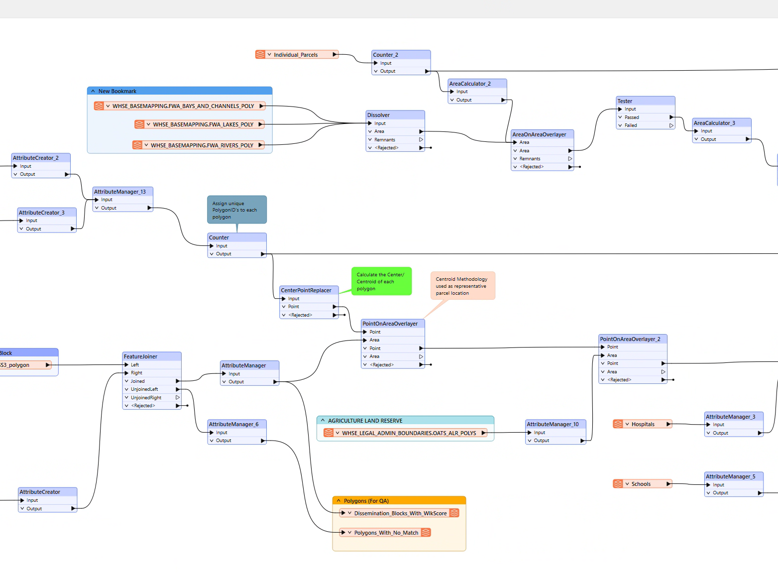
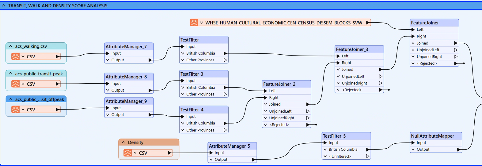
FME workspaces
Automated GIS processing workflows
Batch map export tools
Attribute update scripts
Data transformation tools
QA/QC validation scripts
Repeatable overlay and analysis workflows
Automated reporting outputs
Cleaned and processed datasets
Workflow documentation
Technical handoff notes
Core Support Areas
-
Automate recurring GIS and data processing tasks such as overlays, clips, joins, buffers, intersections, field calculations, record summaries, and spatial analysis outputs. This is useful when a workflow is being repeated manually across multiple layers, areas, files, or reporting periods.
-
Custom Python and ArcPy scripts for GIS processing, attribute updates, data cleanup, spatial analysis, batch exports, geodatabase workflows, and repeatable project tasks. These tools help convert manual GIS steps into consistent scripts or project-specific automation tools.
-
FME workflows for data transformation, integration, validation, spatial overlays, attribute restructuring, format conversion, and automated delivery outputs. This is useful when data needs to move between multiple formats, systems, schemas, or project requirements.
-
Automated workflows for exporting maps, converting files, calculating fields, updating layers, summarizing records, and preparing standardized project outputs. This helps reduce time spent on recurring map production, reporting, and data delivery tasks.
-
Restructuring spatial and tabular data between formats, coordinate systems, naming conventions, field structures, schemas, and delivery requirements. This can include preparing GIS layers, spreadsheets, hosted feature layers, CAD/GIS inputs, or reporting tables for project use.
-
Scripts and workflows that clean and validate data using consistent rules. Checks can flag missing values, duplicates, invalid geometry, inconsistent attributes, projection issues, incomplete records, and items requiring manual review.
-
Clear documentation, comments, workflow notes, and handoff materials so scripts, tools, and automated processes can be reviewed, reused, maintained, or handed off to internal teams.
Example Use Cases
Repetitive GIS Processing
Automating overlays, clips, joins, buffers, intersections, summaries, and field calculations that would otherwise be completed manually.
Data Cleanup Automation
Building repeatable scripts to clean fields, standardize values, detect missing records, flag duplicates, and prepare datasets for mapping or reporting.
Map & Report Exports
Creating batch workflows to export maps, tables, layouts, and summary outputs consistently across multiple areas, assets, projects, or reporting periods.
FME Data Integration
Using FME to connect, transform, validate, and deliver data from multiple sources into clean GIS, database, spreadsheet, or reporting outputs.
Dashboard & Web Map Preparation
Automating or streamlining the preparation of hosted layers, summary tables, QA/QC records, and web map data used in dashboards and reporting tools.
Related Project Example