Supported resource project planning with organized spatial layers, field information, mapping outputs, and workflow documentation.
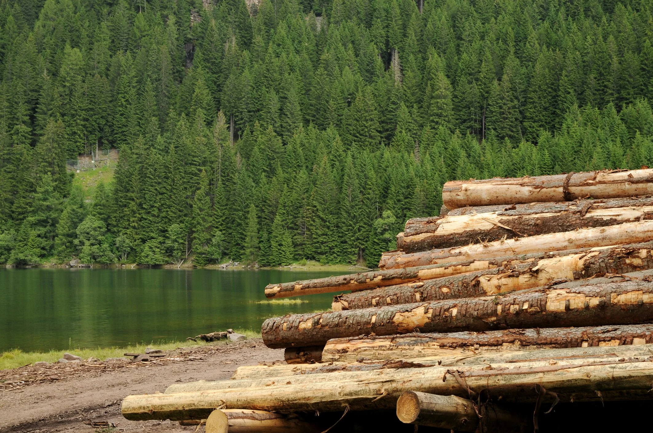
Forestry and natural resource projects rely on many layers of information: roads, tenure, cut blocks, terrain, water, contours, imagery, field observations, environmental constraints, protected areas, access, ownership, and operational notes.
This project focused on organizing resource-related spatial information into a clearer workflow for mapping, review, field support, and project delivery.
Project Summary
OrbitalIQ completed resource-focused mapping and data support to help a project team organize field information, spatial datasets, and mapping requirements into a clearer workflow. The work made it easier to review site conditions, prepare project outputs, and use resource information with greater confidence.
The result was not just a map. It was a practical workflow for turning resource information into usable layers, maps, and supporting documentation.
Project Phases
-
The work started by identifying the project area, available layers, field needs, and intended deliverables.
Reviewed base data, imagery, terrain, access, ownership, and resource layers.
Identified field inputs, environmental context, and operational needs.
Confirmed map scales, outputs, and data requirements.
-
The datasets were cleaned and grouped so the team could work from a more reliable project structure.
Compiled and organized roads, water, tenure, boundaries, contours, imagery, and reference layers.
Cleaned naming, attributes, symbology, and layer structure.
Prepared data for mapping, analysis, field use, or reporting.
-
The information was turned into practical outputs for review, field work, or project communication.
Prepared project maps and spatial layers.
Supported field data collection or field reference workflows where needed.
Created outputs that could support planning, reporting, or operational review.
-
The final step was making the process easier to reuse.
Documented processing steps and assumptions.
Prepared organized folders, geodatabases, or layer packages.
Outlined how similar outputs could be created for future project areas.
-
Resource project maps
Organized geodatabases or spatial data packages
Field-ready map layers
Imagery, terrain, access, and reference layer preparation
Environmental or operational context mapping
QA/QC notes and data-cleanup documentation
Repeatable workflow guidance
Need clearer resource maps, better field data organization, or a repeatable workflow for natural-resource project information?
OrbitalIQ Solutions can help turn forestry, environmental, and resource data into practical maps, layers, and project-ready outputs.