Integrated Data Intelligence & Geospatial Services
Harnessing the power of automation, analytics, and spatial insight to unlock smarter decision-making.
Design and implement scalable data frameworks to ensure consistent structure, governance, and usability across diverse datasets.
Explore our full suite of services designed to transform complex data into actionable intelligence. From custom-built data frameworks and automation solutions to remote sensing, mapping, and visualization. We deliver integrated technologies that support operational efficiency and strategic insight across industries.
Transform complex datasets into actionable intelligence to support strategic planning, performance tracking, and decision-making.


Streamline workflows and improve data handling efficiency through intelligent automation and repeatable processes.
Leverage location-based data to deliver spatial analysis, mapping, and operational intelligence for field and remote teams.
Create interactive dashboards and intuitive visual products that bring clarity to complex data relationships.
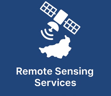
Use satellite, drone, and aerial data to support environmental monitoring, resource mapping, and situational awareness.

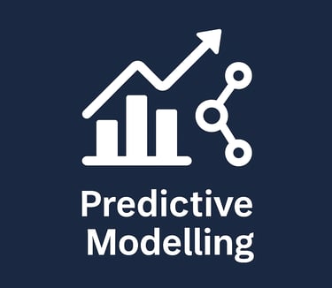
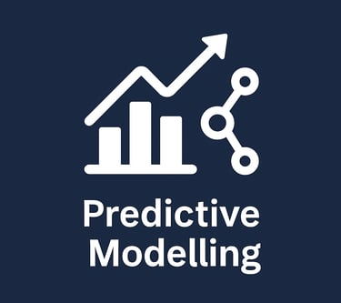
Apply statistical and machine learning techniques to forecast trends and model scenarios for better future planning.
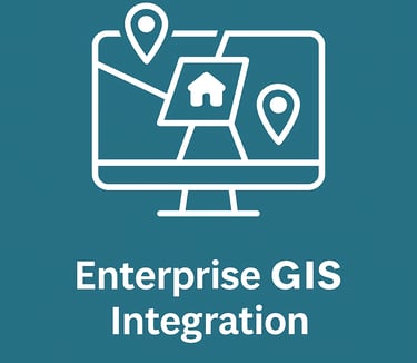
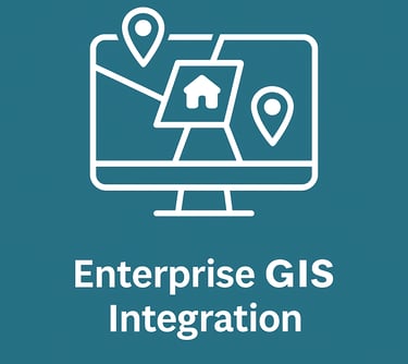


Connect and optimize GIS within broader enterprise systems to ensure data accessibility, interoperability, and scalability.
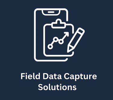
Deploy mobile-enabled tools for accurate, real-time data collection in field operations and inspections.
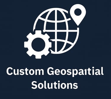
Develop tailored web and mobile mapping applications that enhance access to spatial data and analytics.
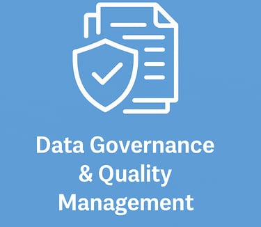
Implement structured data policies, standards, and validation tools to ensure accuracy, consistency, and compliance across your entire data ecosystem.
Use advanced analytics and machine learning to uncover patterns, automate insights, and drive smarter decisions from complex, high-volume data sources.