Where Data Meets Intelligence
OrbitalIQ Solutions transforms geospatial and business data into actionable insights that empowers smarter strategies, operations, and growth.
Data Architecture
Designing scalable, secure, and integrated systems for better data governance and infrastructure control.
From predictive models to real-time dashboards, we turn raw data into smart, actionable insights.
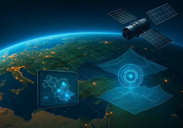
Transform location-based data into operational intelligence through mapping, spatial analysis, and decision-ready visuals.
Analytics Solutions
Geospatial Intelligence
Unlocking the Full Potential of Geospatial and Business Intelligence
At OrbitalIQ Solutions, we specialize in advanced data and geospatial intelligence, simplifying complexity and driving smarter decisions across various sectors.


Data-Driven Clarity. Actionable Intelligence.
At OrbitalIQ Solutions, we help organizations harness the full power of their data, spatial or not. Our work spans architecture, automation, analytics, and visualization, turning fragmented data into focused strategies.

Data Intelligence Solutions
Unlock actionable insights through streamlined data systems, automation, and advanced analytics built for organizations navigating complexity across sectors.
Integrated Data Architecture
We design and implement scalable data systems from relational databases to cloud platforms ensuring your information is structured, accessible, and ready for analysis.
We build the backbone of your data ecosystem: clean, connected, and future-proof.
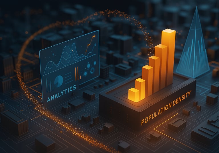
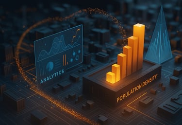
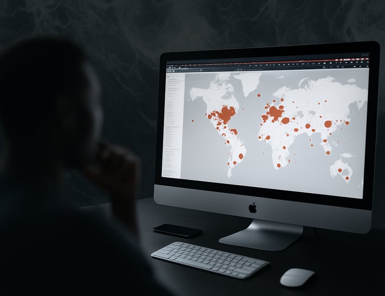
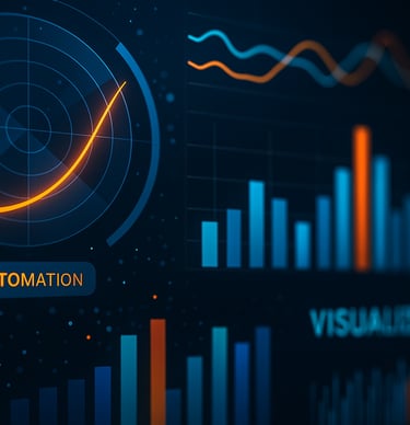
Automation Solutions & Advanced Analytics
We develop custom workflows, dashboards, and analytical tools that streamline data processing and uncover meaningful trends to support informed decisions.
Our solutions turn complexity into clarity through smart automation and predictive analytics.
We extract actionable insights from satellite imagery, drone data, and geospatial analysis to support environmental monitoring, infrastructure planning, and location-based decisions.
We help you see the full picture remotely sensed and spatially aligned.
Remote Sensing & Spatial Intelligence